Between September 26 and October 7, 2016, The Ocean Cleanup conducted a series of reconnaissance flights across the Great Pacific Garbage Patch: the Aerial Expedition. The objective of the mission was to accurately quantify the ocean’s biggest and most harmful debris, discarded fishing gear called ghost nets. Determining the amount of this large debris is the final stage of mapping the ocean plastic problem.
MAPPING PLASTIC FROM THE SKY
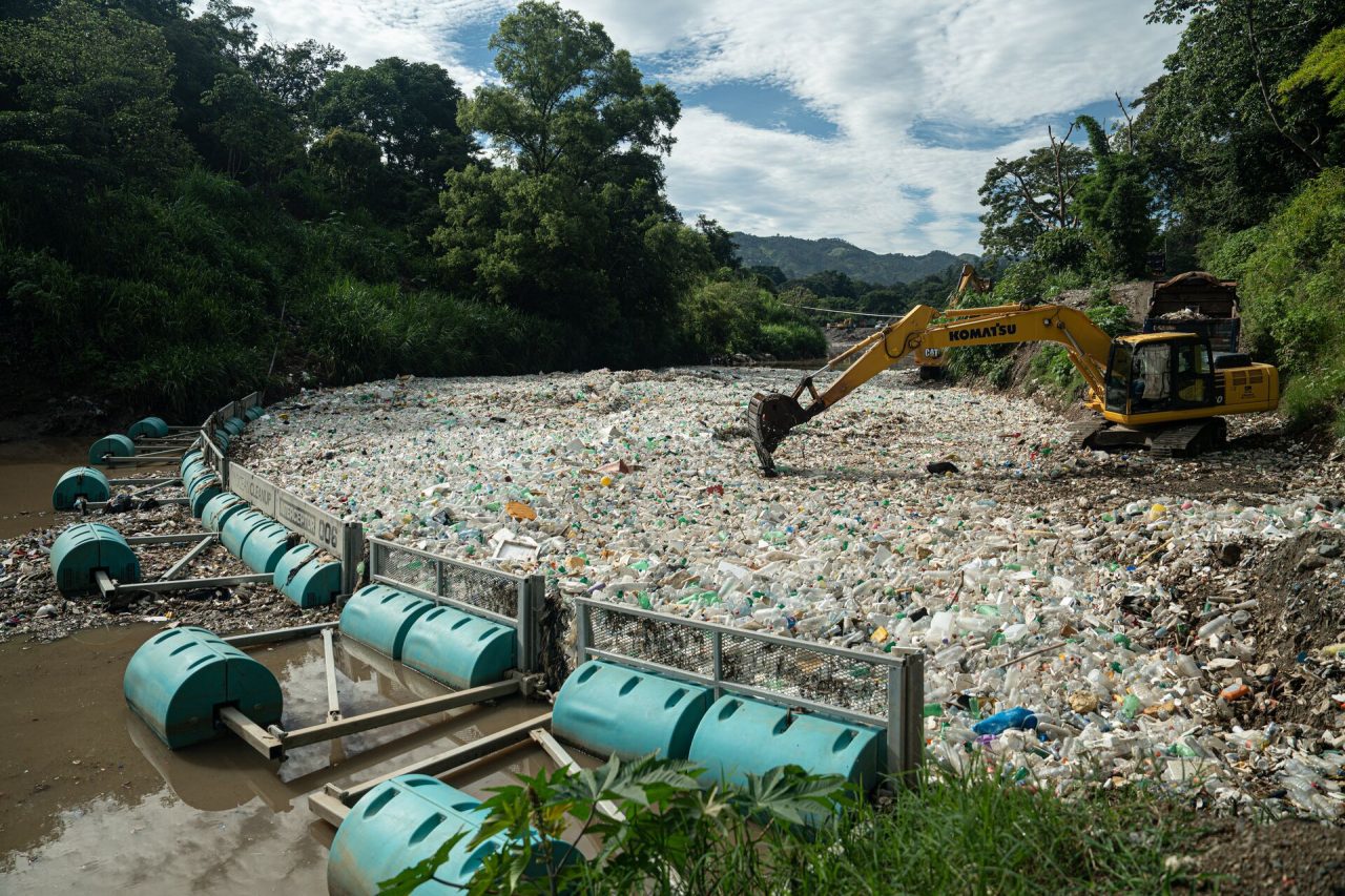
Cleaning the Great Pacific Garbage Patch requires us to understand its dimension. Quantifying and characterizing the plastic the patch contains is essential to determine the design of cleanup systems, the logistics of hauling plastic back to shore, the methods to recycle plastic and the cleanup’s economics.
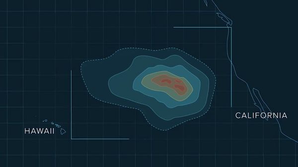
We started answering this question in 2015 when we launched the Mega Expedition. With a fleet of about 30 vessels, we produced the first high-resolution map of the infamous plastic accumulation zone, situated halfway between Hawaii and California.
Conventionally, ocean plastic is quantified using small, one-meter-wide trawls, meaning only a very small portion of the size spectrum was measured. The larger pieces of plastic become, the rarer (by count) they become. Therefore a larger area needs to be covered to accurately quantify large debris. Hence, during the 2015 Mega Expedition, we used very large nets to also be able to measure larger pieces of plastic. This was successful for debris of up to about a meter in size, but we knew ocean garbage can be much larger. Hence, we conducted the Aerial Expedition to find out more.
The aim of the Aerial Expedition was to accurately measure the biggest and most harmful debris in the ocean. This could be achieved by covering an area larger than was done during the Mega Expedition. This was the first-ever aerial survey of an ocean garbage patch.
HOW WE DID IT?
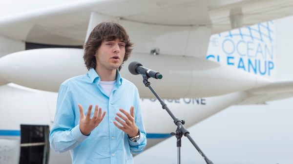
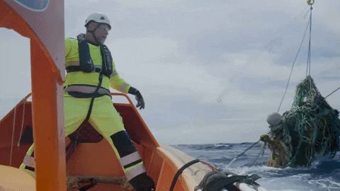
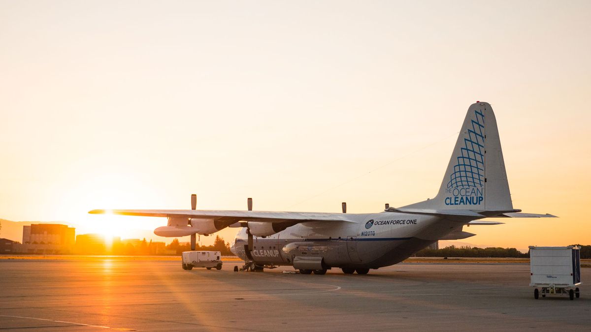
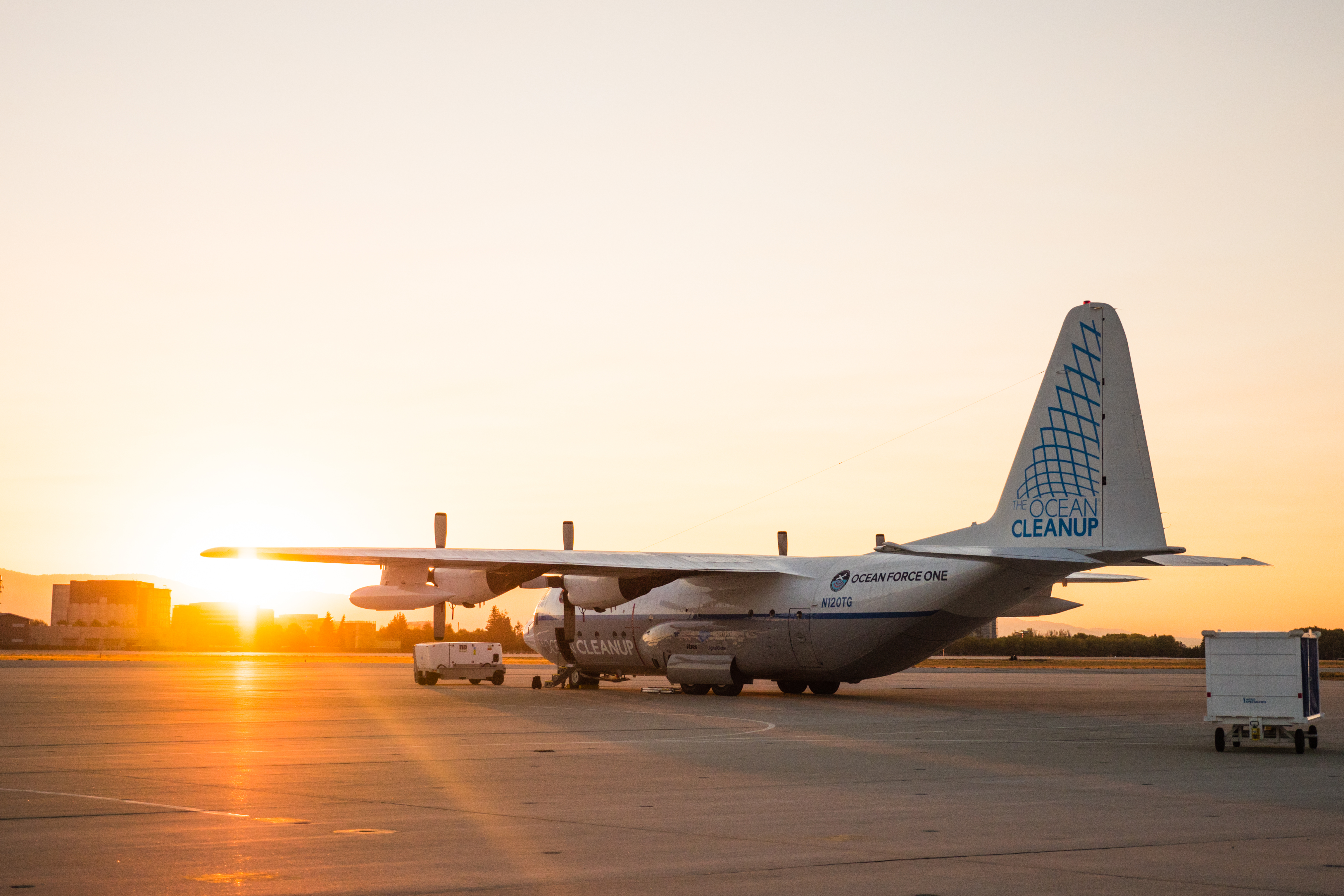
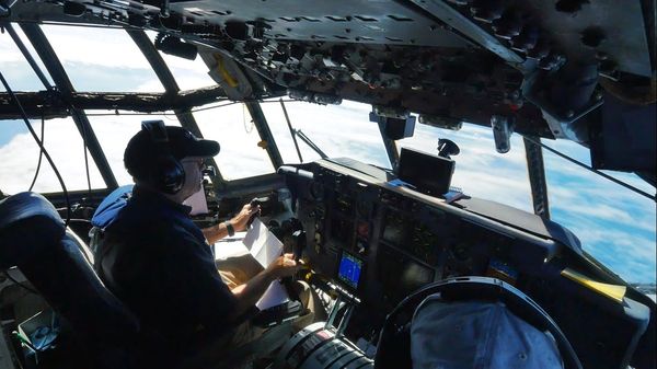
With a flight crew of 10 researchers, 3 sensor technicians and 7 navigation personnel, The Ocean Cleanup’s Aerial Expedition used a combination of experienced human observers and advanced sensors to count the debris. The C-130 Hercules aircraft, named Ocean Force One (following a Twitter suggestion), flew at a low speed (140 knots) and low altitude (400m) while mapping the area. Advanced sensors helped convert the count from the visual survey to a weight estimate by registering the size of the objects detected.

FINDINGS
The combined findings from the Aerial Expedition as well as from the Mega Expedition have been published in Scientific Reports on March 22, 2018.
The results are alarming: around 80 million kg of floating plastic debris of various size and shape, principally made of Polyethylene and Polypropylene, accumulated in an area 3 times the size of continental France. Concentrations of microplastics, representing the majority of the estimated 1.8 trillion pieces inside the GPGP, have been increasing exponentially since the 1970s when researchers began observing quantities of tar and plastic floating in the North Pacific Ocean to more recent and consistent observations in the 2000s and 2010s. We also found that 92 % of the mass is still the be found in the larger objects (>5mm).
Find out more about the Great Pacific Garbage Patch: